(Photo André BOUR - HELICOPASSION)
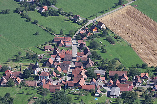
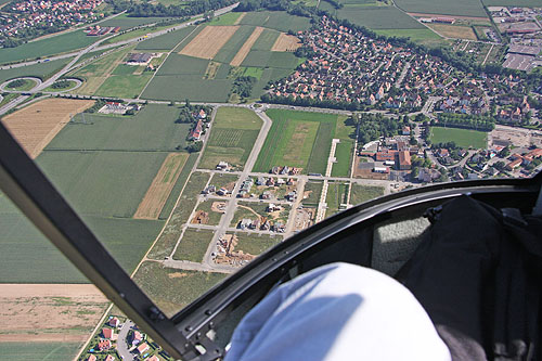
Un village alsacien, vue du ciel
(Photo André BOUR - HELICOPASSION)
(Photo André BOUR - HELICOPASSION)
(Photo André BOUR - HELICOPASSION)
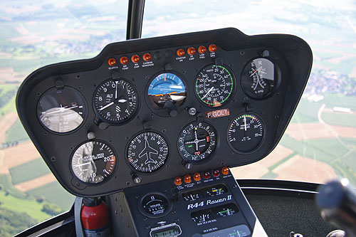
(Photo André BOUR - HELICOPASSION)
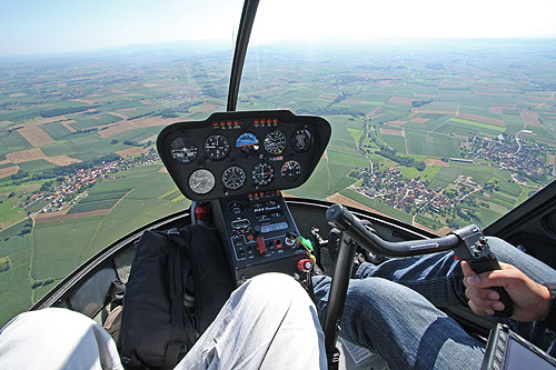
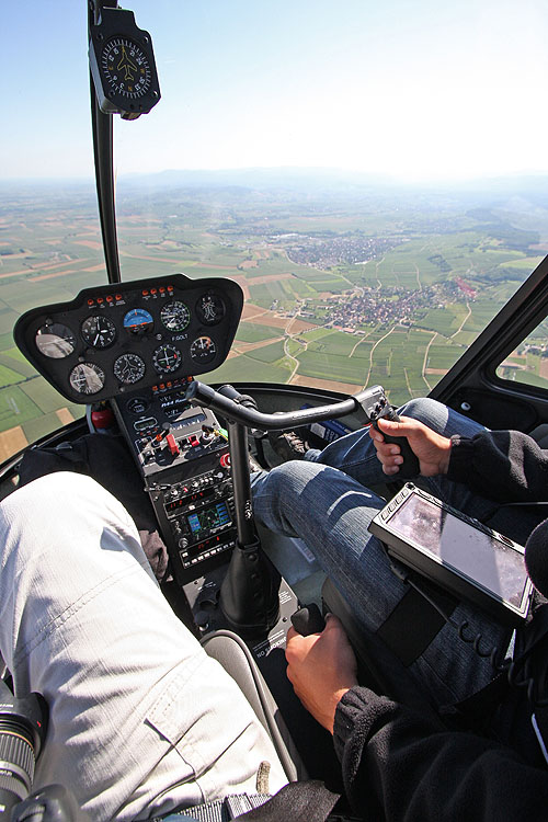
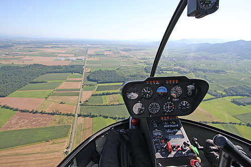
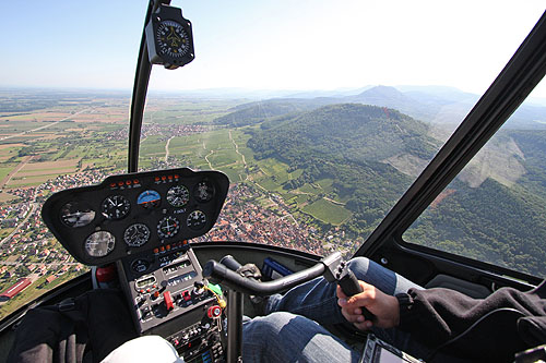
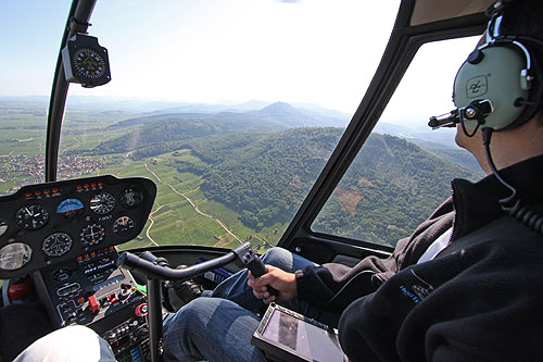
Tableau de bord du R44 Robinson
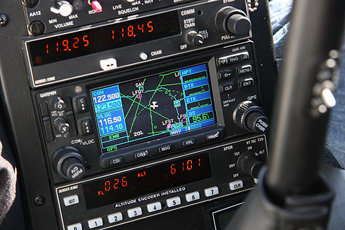
(Photo André BOUR - HELICOPASSION)
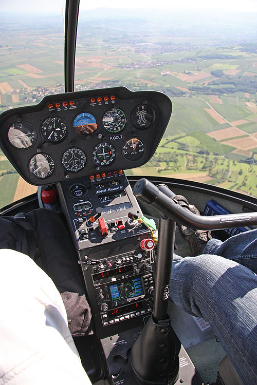
(Photo André BOUR - HELICOPASSION)
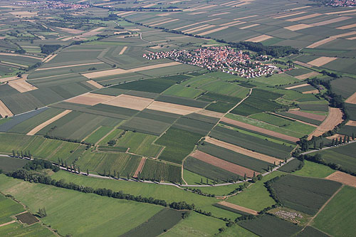
(Photo André BOUR - HELICOPASSION)
(Photo André BOUR - HELICOPASSION)
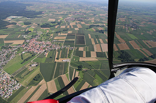
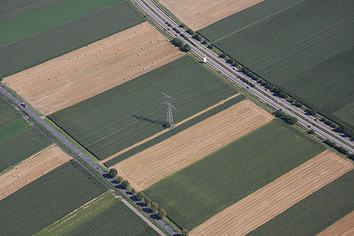
La nature quadrillée par l'homme : routes, champs, lignes électriques
(Photo André BOUR - HELICOPASSION)
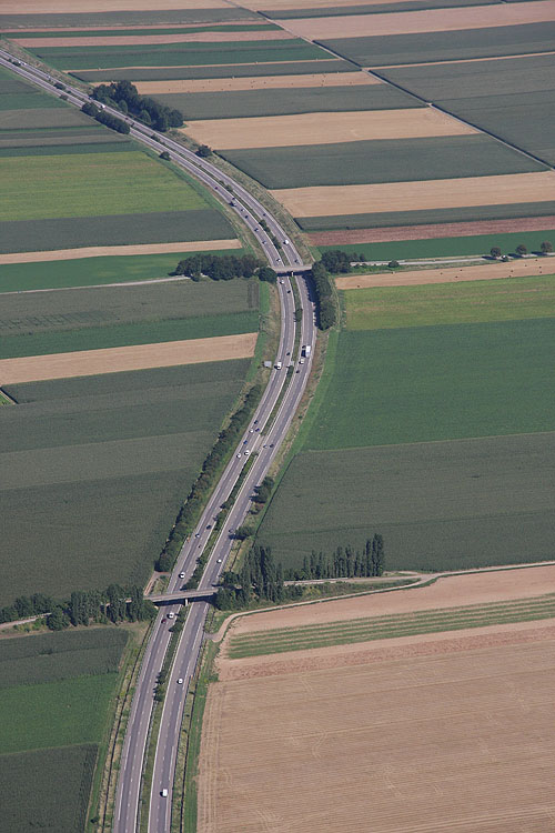
Autoroute, vue du ciel
(Photo André BOUR - HELICOPASSION)
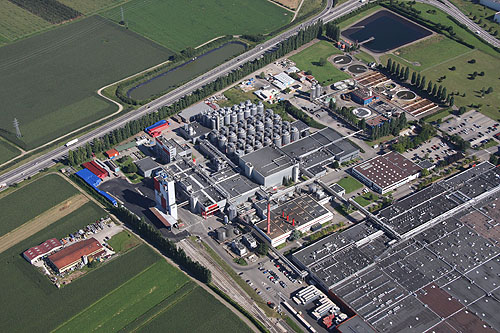
Usine Kronenbourg, vue du ciel
(Photo André BOUR - HELICOPASSION)
(Photo André BOUR - HELICOPASSION)
(Photo André BOUR - HELICOPASSION)
(Photo André BOUR - HELICOPASSION)
(Photo André BOUR - HELICOPASSION)
(Photo André BOUR - HELICOPASSION)
(Photo André BOUR - HELICOPASSION)
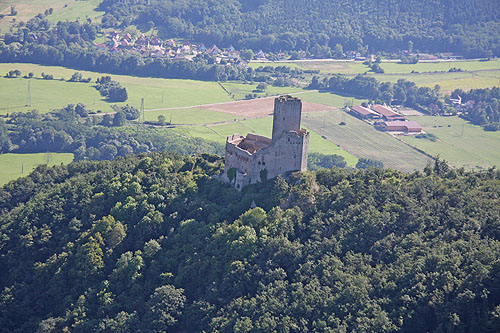
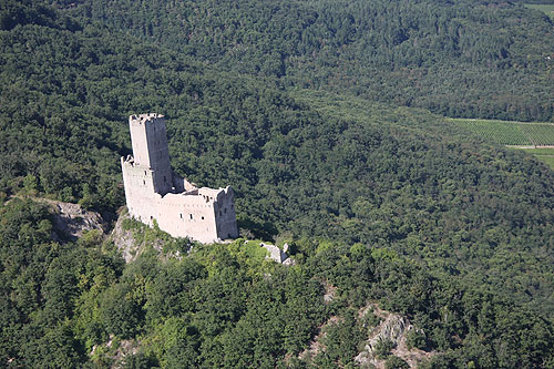
Le chateau d'Ortenbourg
(Photo André BOUR - HELICOPASSION)
(Photo André BOUR - HELICOPASSION)
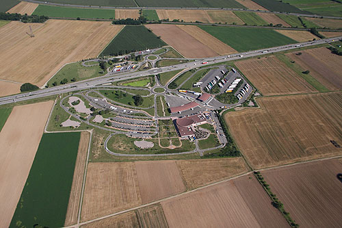
Une aire d'autoroute, vue du ciel
(Photo André BOUR - HELICOPASSION)
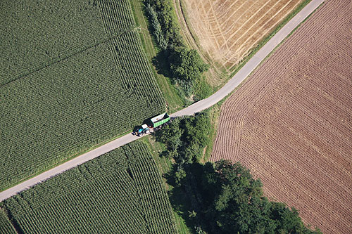
Tracteur et sa remorque, vus du ciel
(Photo André BOUR - HELICOPASSION)
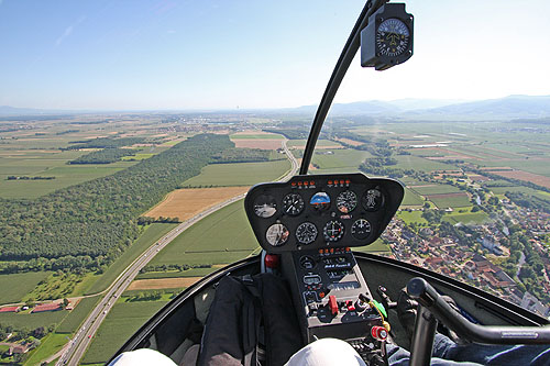
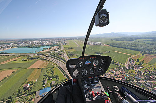
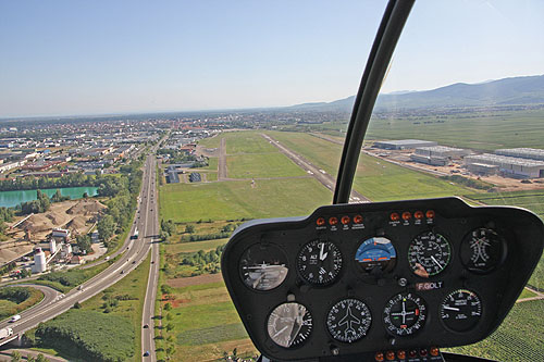
Arrivée à l'aéroport de Colmar
(Photo André BOUR - HELICOPASSION)
(Photo André BOUR - HELICOPASSION)
La carte du vol au-dessus des châteaux d'Alsace et des Vosges du Nord. La carte est interactive et vous permet d'accèder aux pages de photos associées à chaque point. Vous pouvez également zoomer sur la carte pour découvrir la localisation précise des différents châteaux